Photo: Stemonitis, CC BY-SA 2.5
Walk 3 · from Trawden
Boulsworth Hill ridge and Wycoller
10 miles (16.3 km), ascent 1,400 ft (424 m), about 6 hours.
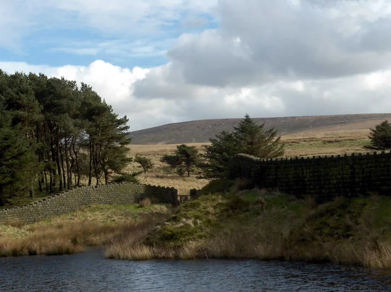
For walkers who want the full Pennine experience without touching the car. Head out along the lane to Hollin Hall, then make a stiff climb past the extraordinary Abbot Stone to Lad Law's trig point. From there, follow the wild ridge east among weather-carved gritstone tors (the Saucer Stones, Weather Stones, Crow Hill) and drop to lonely Watersheddles Reservoir on the Yorkshire border. The Brontë Way then leads you down Wycoller Dean to the ruined hall and the ancient bridges, a good picnic spot before the field paths home. Ten glorious miles. Pack a proper lunch.
Highlights along the way
Slack Laithe and Meadow Bottom farms, Gilford Clough, the Pennine Bridleway, the Abbot Stone (a big upright gritstone slab), the Lad Law trig point (518 m) with a 360° panorama, then the Weather Stones and the Little and Great Saucer Stones. East over Crow Hill and down to Watersheddles Reservoir, onto the Brontë Way past Parson Lee Farm, then along Wycoller Beck into Wycoller, past the ruined hall and over the two-arch bridge. Back over the fields by Bracken Hill and Higher Stunstead.
From the cottage door
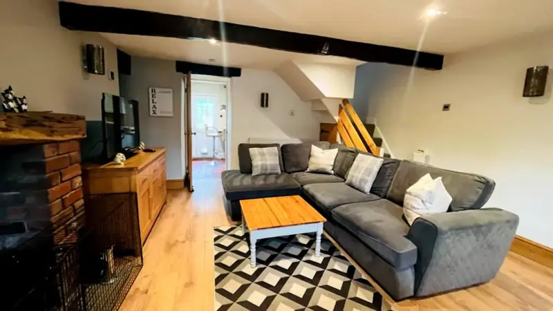
The walk starts by St Mary's church in Trawden village, within walking distance of Spring Cottage, so you can leave the car outside the cottage. Boots and wet coats go in the cottage vestibule when you get back.
Dogs on this walk
Several ladder stiles (at Watersheddles), so this suits fit dogs that can be lifted. Open moor with sheep, so the access-land lead rules apply. On open access moorland, dogs must be on a short lead from 1 March to 31 July, and near livestock at any time of year. See our dog-friendly guide to Trawden.
After the walk
The Trawden Arms and other pubs near Trawden and Colne are listed on our eating-out page. Read more about Wycoller, its bridges and the Jane Eyre ruins. There's no café in Wycoller now, so pack a picnic.
Safety and the Countryside Code
These are real Pennine walks. Paths cross working farmland and open moor, and the weather can change fast on the tops. Wear waterproof boots, carry a waterproof layer, water and a map (OS Explorer OL21 South Pennines covers Trawden, Wycoller and Boulsworth; OL41 covers Pendle Hill), and tell someone your route. Phone signal can be patchy. Please follow the Countryside Code:
- Leave gates as you find them, and keep to marked paths unless you're on open access land.
- Don't block gateways or lanes when you park.
- Take your litter home, and bag and bin your dog's poo.
- Dogs: keep them under control and in sight, and on a lead around livestock. On Open Access land (most of the moorland here) the law says dogs must be on a lead from 1 March to 31 July, and around livestock at any time of year. If cattle threaten you, let your dog off the lead so you can both get to safety.
- Moorland fires are devastating. Don't light fires or BBQs.
Book direct to avoid third-party booking fees
Wake up at the start of the walk
Boots in the vestibule, map on the table, the moor at the end of the lane. The total, including the £40 cleaning fee, shows straight away.